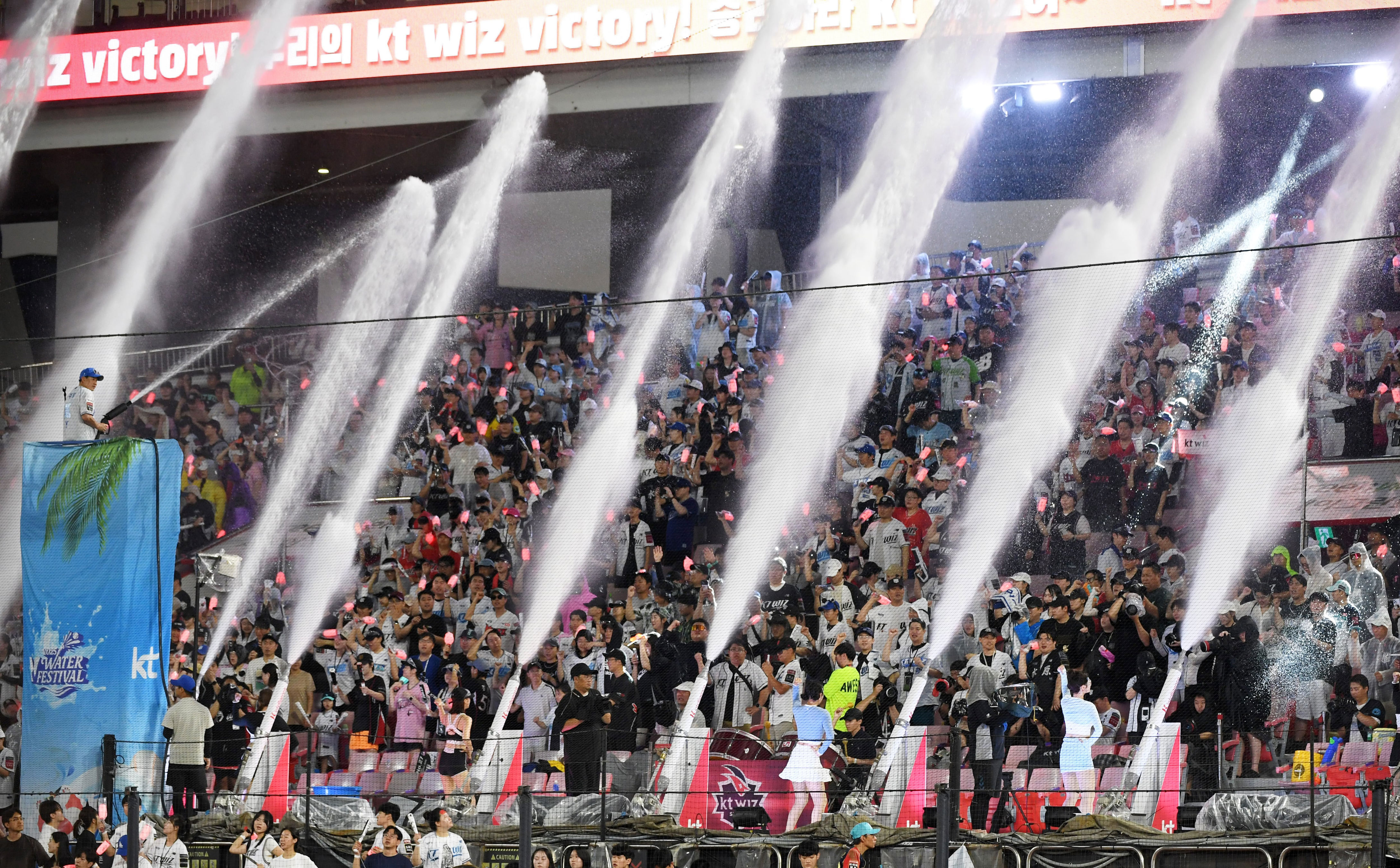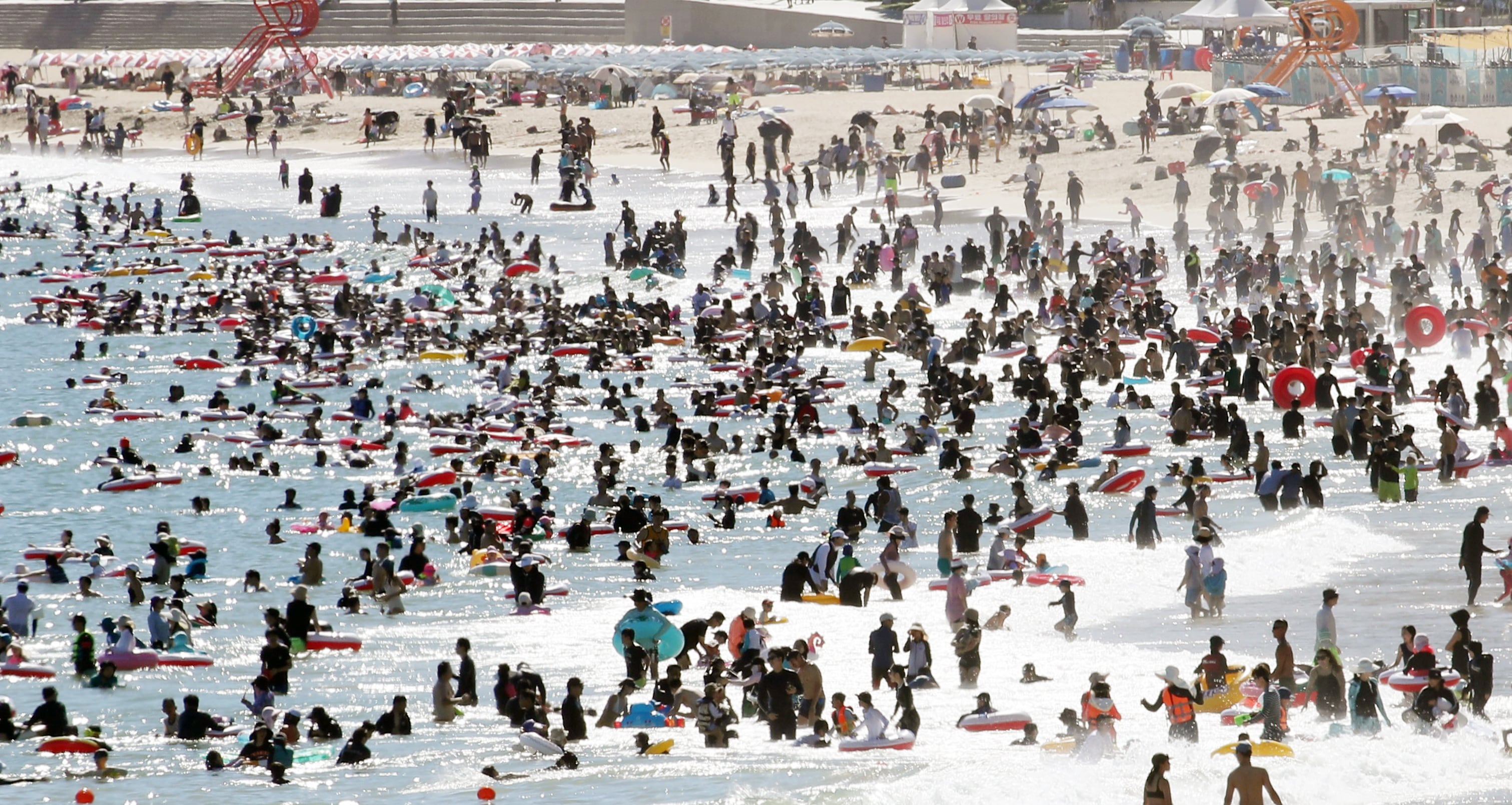
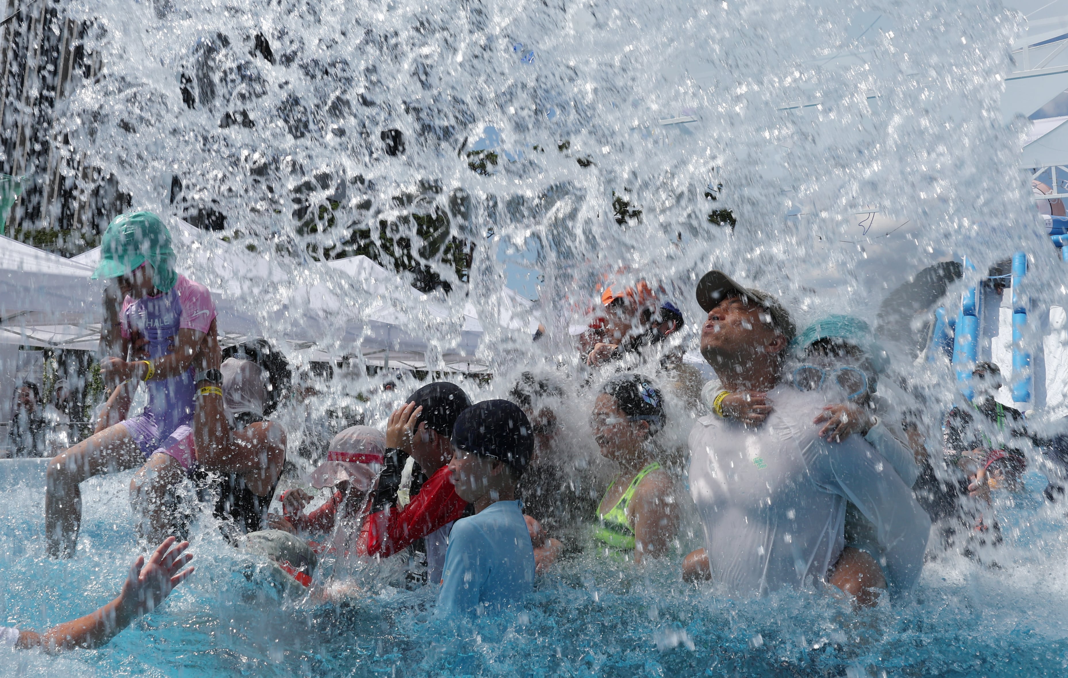
The temperature is increasing in South Korea. On July 27, the mercury level reached 40.6°C in Anseong, Gyeonggi Province, setting a new national record. This week, Seoul is anticipated to exceed 40°C for the first time, experience tropical nights, and break previous records.
According to data from the Korea Meteorological Administration (KMA), increasing temperatures are linked to the Tibetan High and the North Pacific High, both of which exert pressure over the Korean Peninsula. Additionally, trade winds, which warm as they pass over the Taebaek Mountains, are anticipated to increase the intensity of the heatwave. This situation is similar to being wrapped in two layers of blankets while sitting near a heater. Some specialists note that the current heatwave is comparable to the severe heatwave experienced in 2018, when Seoul recorded a peak temperature of 39.6°C.
The Korea Disease Control and Prevention Agency (KDCA) recorded 2,311 cases of heat-related illnesses from May 20 to July 26—the highest figure since the agency started collecting data in 2011. Eleven individuals passed away during this time, which is almost three times the number of deaths reported last year, which was four. In typical summer months, the North Pacific High usually affects the Korean Peninsula. Although the current combination of two high-pressure systems isn't inherently unusual, specialists point out that the effects depend on the form and length of this "double high-pressure" system.
At present, South Korea is surrounded and covered by two high-pressure systems, with almost no openings. Such patterns usually occur during the peak of summer, from late July to mid-August. However, this year, they started appearing as early as the beginning of July. Consequently, abnormally high temperatures are being observed, with early July temperature records being surpassed in Seoul and other central areas.
The intense heat caused the development of an unusually big rain cloud that provided temporary relief from the heat with "monster downpours" from July 16 to 20. However, when the low-pressure systems moved away, the Tibetan High and North Pacific High quickly took back control over the Korean Peninsula, creating a "double high-pressure" system for the second time this month. With the land still wet from the rain, humidity increased significantly, causing temperatures to rise even more rapidly. This led to two periods of extreme heat during the same summer instead of the typical one.
Until last weekend, the nation was under a blanket of high pressure, free from hot winds. With little strong wind movement, the powerful sunlight resulted in sauna-like temperatures all day long. The heat from the day carried over into the night, causing extremely warm tropical nights.
This week, worries increase due to the arrival of hot, dry winds on top of the already severe heat. The KMA predicts that trade winds and southeast winds will continue for a while. In Korea, where the Taebaek and Sobaek mountain ranges stretch along the eastern coast, these trade winds become heated and lose moisture as they pass over the mountains, leading to hot air affecting areas on the western side. A KMA representative stated, “The air that descends the mountains becomes dry and warm. When paired with strong sunlight, temperatures are expected to spike even more.”
A crucial factor will be the effects caused by typhoons and tropical depressions forming south of Korea. On August 1, 2018—the nation's hottest recorded day—both the double high-pressure system and trade winds were present, similar to this year. However, in 2018, Typhoon Jongdari had weakened near Japan, while a tropical depression, which is a mass of warm air in the early stages of a typhoon, was heading toward Korea. If a typhoon passes over the Korean Peninsula, the double high-pressure system can be disrupted, leading to heavy rain and wind that reduce temperatures. But if the typhoon weakens before reaching land or remains far away, the heat from the tropical air mass can worsen the already severe conditions.

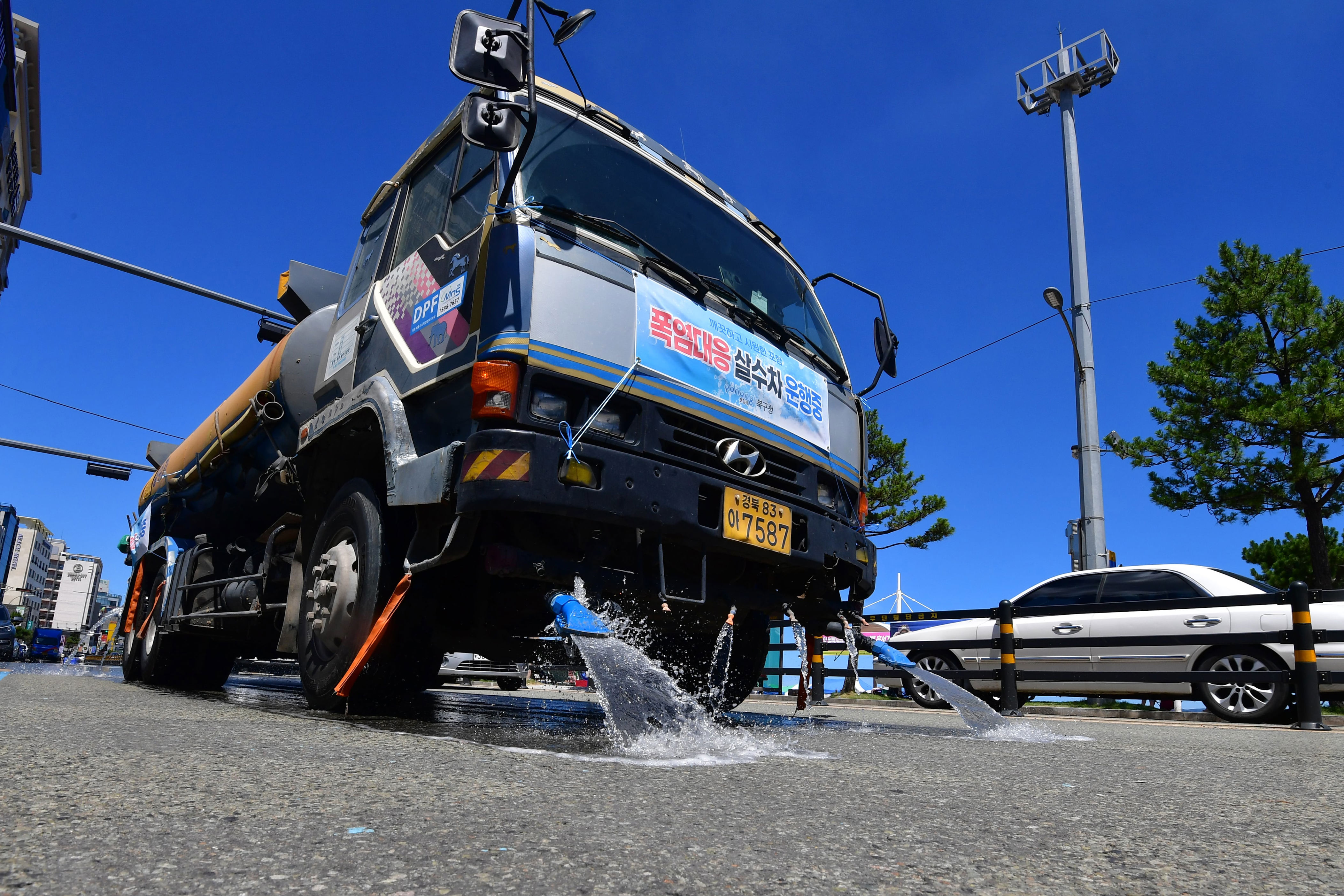
On July 25, the Ministry of the Interior and Safety upgraded the heat wave alert to its highest level, "severe," six days earlier compared to last year. By July 28, temperatures are predicted to vary between minimums of 21-28°C and maximums of 32-37°C. The Korea Meteorological Administration expects that, until August 6, temperatures will stay above normal without substantial rain, leading to ongoing extreme heat and enduring tropical nights.